San Francisco Mayor Daniel Lurie warns of tides 'never seen before' in the city
The city plans to activate its emergency operations center late this weekend as crews prepare for high tides and heavy rain.
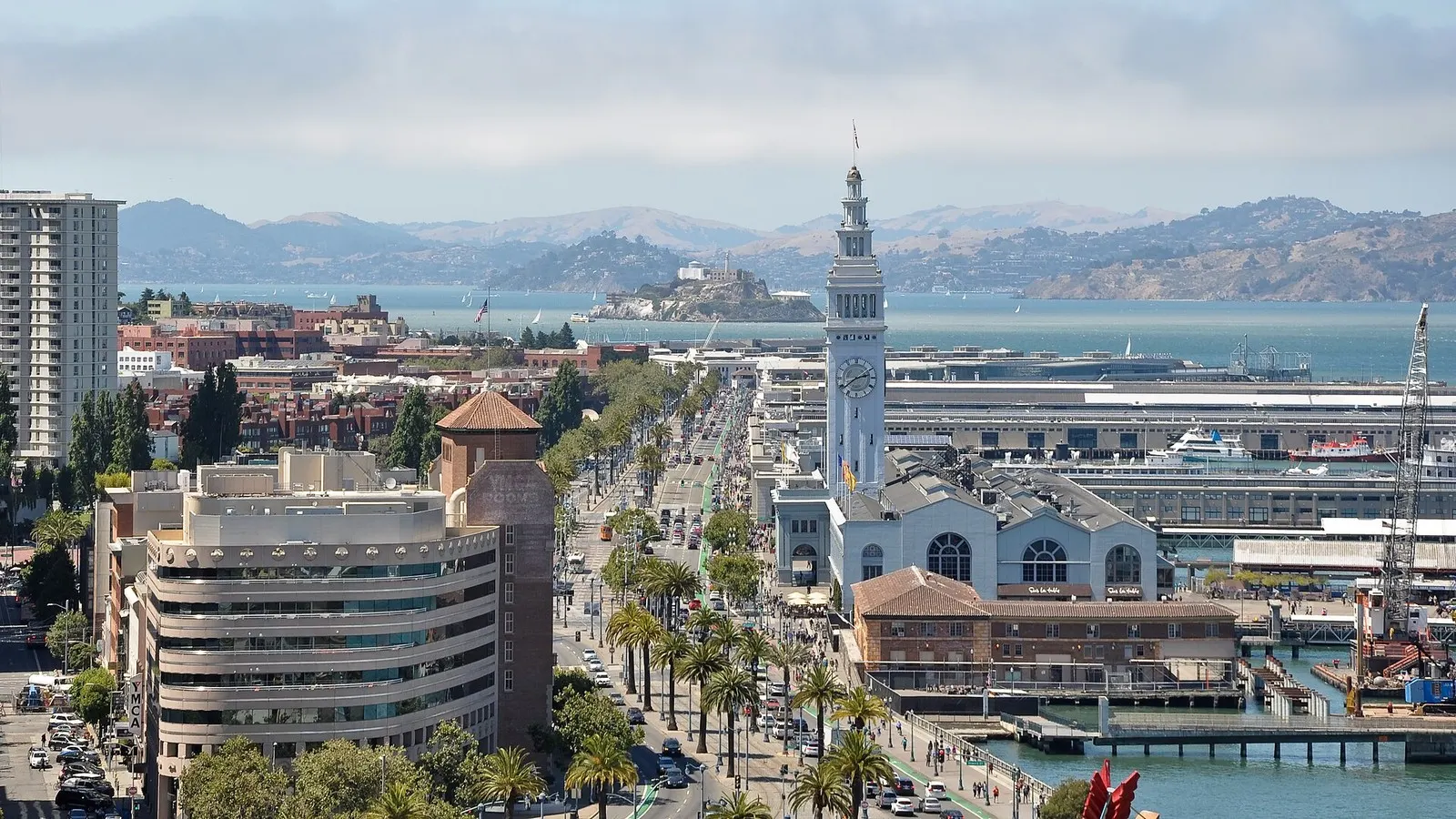
San Francisco Mayor Daniel Lurie on Friday asked residents to consider avoiding nonessential Thanksgiving travel from Monday afternoon into Wednesday, warning of record high tides and heavy rain.
This is a developing story and will be updated.
Lurie posted the warning on X after discussing next week’s forecast with the National Oceanic and Atmospheric Administration and the National Weather Service, NPR reported. “We are expecting tides that the National Weather Service told us they have never seen before in recorded history here in San Francisco,” he said.
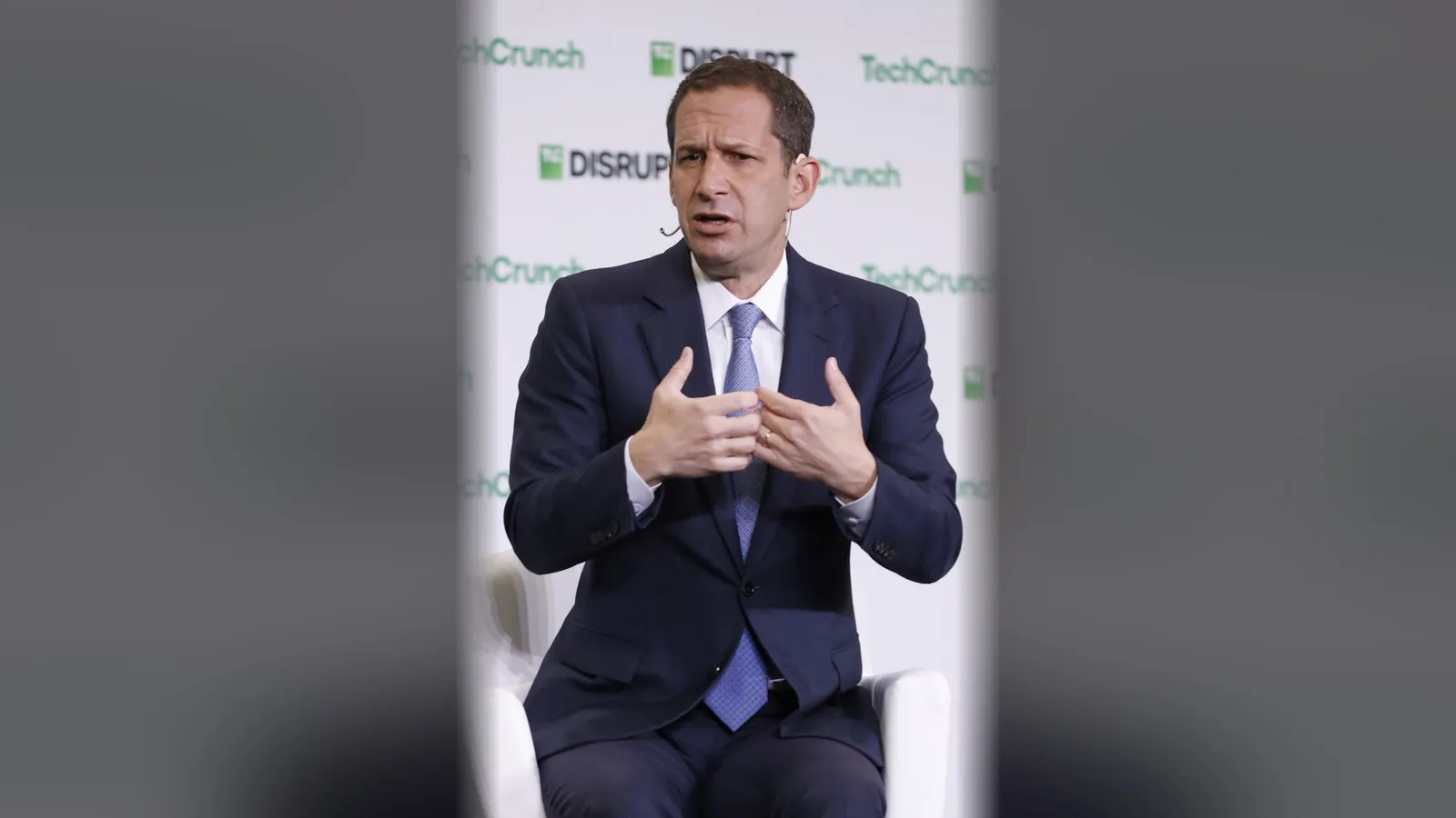
“This is extremely serious, and we are acting accordingly at the city level,” Lurie said.
We just got off a call with the National Oceanic and Atmospheric Administration and National Weather Service.
— Daniel Lurie 丹尼爾·羅偉 (@DanielLurie) November 21, 2026
We went through the forecast for next week, and we are anticipating high tides and rain that this city has never seen before. This is extremely serious, and we are
The city will activate its Emergency Operations Center late this weekend, Lurie said, adding that crews “are out now and will be every single day going forward.” “Take this weekend to get yourself ready, please stock up on supplies, get your shopping done,” he said.
The expected rain coincides with king tides, the year’s highest tides. Forecasters said flooding of up to two feet was likely through 6 a.m. Monday in low-lying places near shorelines and tidal waterways. Coastal flood advisories cover the Bay Area through Monday morning, the National Weather Service said.
An atmospheric river is forecast to reach the West Coast on Monday, NPR reported. Through Wednesday, the Center for Western Weather and Water Extremes expects two to four inches of precipitation in northern California and southern Oregon.
The expected peak tide height in San Francisco was not immediately clear, nor was whether San Francisco International Airport or regional transit systems expected disruptions.
The city had near-record rainfall Wednesday, when water bubbled up through a Mission District street, NBC Bay Area reported. San Francisco Public Works said it distributed 4,000 sandbags Wednesday and 3,000 Thursday. Cars queued for more on Friday, while the Port of San Francisco has installed temporary flood barriers along the Embarcadero.
“So, next week, we are expecting potentially a very similar, if not worse storm, and the thing is it’s also going to land on a day when we have very significant king tides,” said Mary Ellen Carroll, executive director of the city’s Department of Emergency Management. Carroll said the city has expanded its teams and will try to clear drains before the storm, while residents should prepare now to reduce damage later.
In the Mission, people used saws and lumber to build a flood gate wall at a research and consulting business. They planned to cover it in plastic and back it with sandbags “to try and keep the feet of water from the street from coming through our roll up door,” said Colman Snaith, a San Francisco resident.
The systems affecting California and Florida are an offshoot of El Niño, a natural warming of the Pacific near the equator that alters weather patterns worldwide.
In Florida, scattered showers Saturday added to the effects of historic flooding in the state’s central region. Earlier in the week, heavy rain inundated much of the Atlantic coast and left people trapped by floodwaters in northeastern Florida. The St. Johns River, Florida’s longest, surpassed a 1953 record near Cocoa on Thursday.
Melissa Watson, a National Weather Service meteorologist in Melbourne, Florida, said the heaviest rain had passed, but continued lighter showers were expected to raise the river further. “Regardless of any additional rainfall, we are expecting these river floods to continue for an extended period of time,” Watson said.
The National Weather Service said the storm that began in Florida on Friday would travel north through the Mid-Atlantic and reach the Northeast by Sunday evening. In a busy travel week, it “doesn't usually take too much to cause things to start to have delays,” said Dan Hoffman, a National Weather Service meteorologist in Baltimore.
Sources
- The Independent: San Francisco braces for massive tides, mayor urges residents to reconsider travel
- AP News: San Francisco braces for massive tides. Mayor urges residents to reconsider travel
- sfchronicle.com: Client Challenge
- NPR: Storms expected on both coasts threatens Thanksgiving travel
- NBC Bay Area: San Francisco prepares for next round of rain and king tides
- Daniel Lurie 丹尼爾·羅偉 (@DanielLurie) on X